AR/3D Mapping
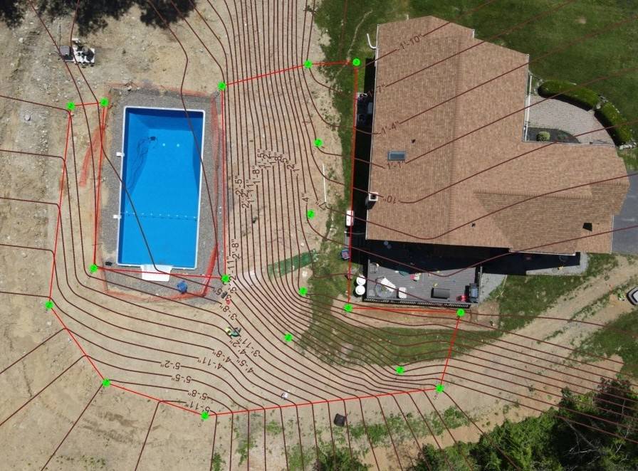
AR Mapping uses the augmented reality of your iPhone to map the X and Y, your ground distances which will give you area and volume for any 2D area free. Using this feature with your Smart Level will also create the X,Y,Z data for not only bidding jobs more accurately, but uploading into design programs for accurate designs.
(Only in iOS at this time.)
Initial Site, We painted important elevations required

Site mapped and uploaded into Uvision

Design of above site:


Site mapped with 3D AR Mapping

Site mapped with 3D Image Mapping

