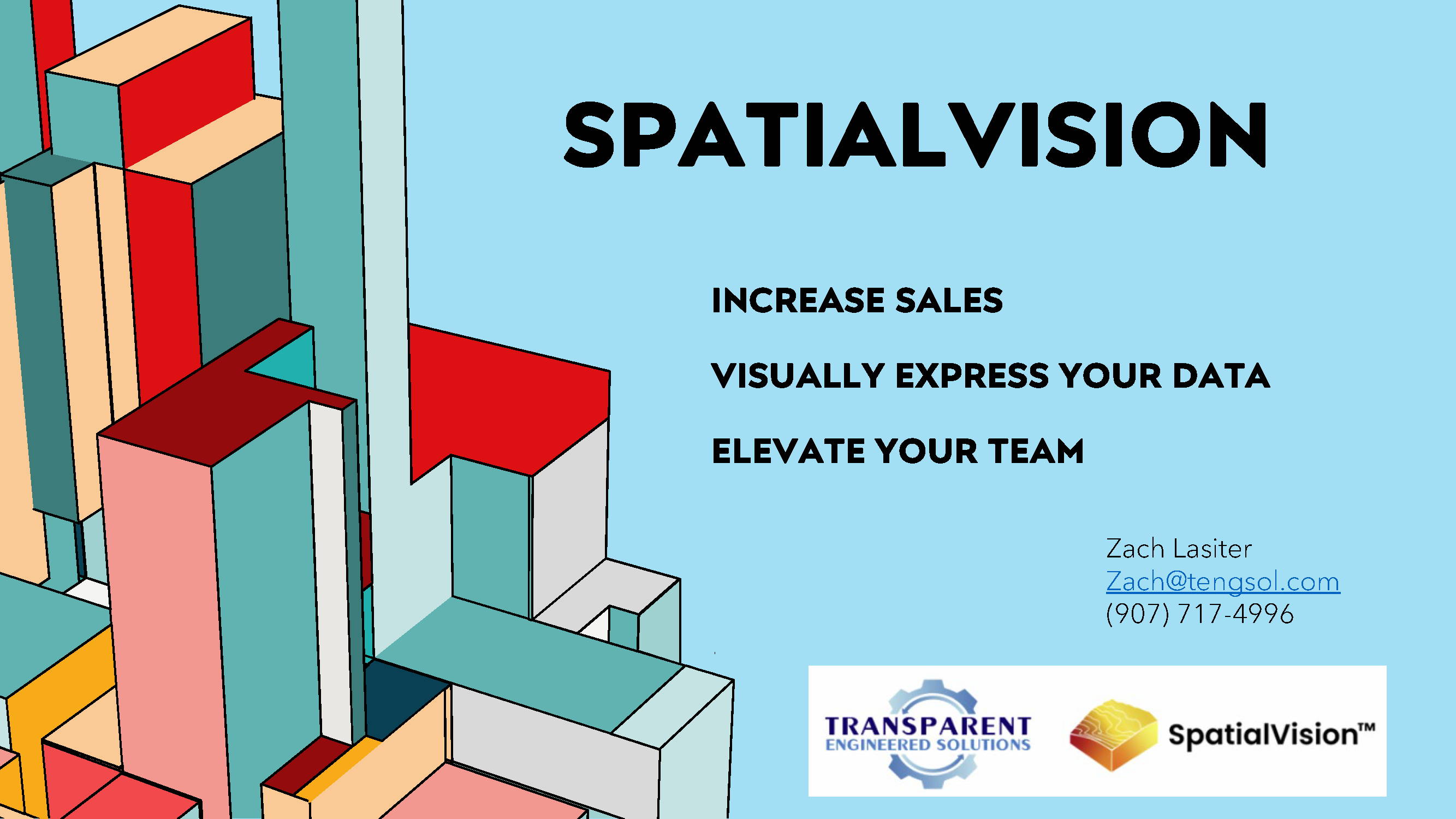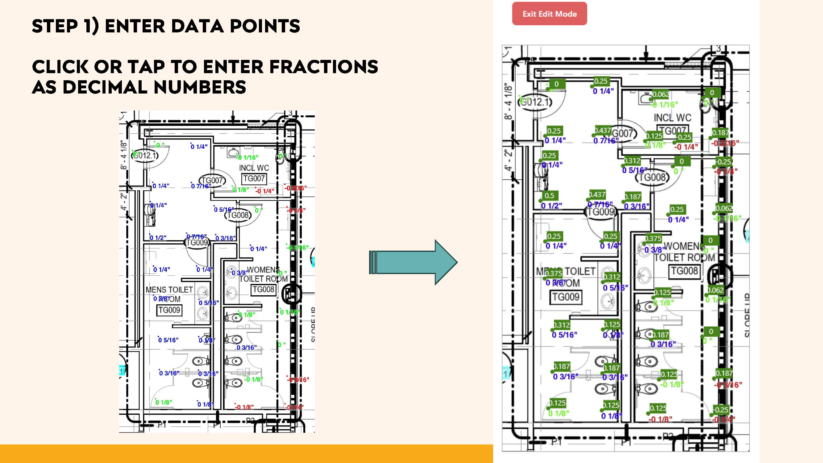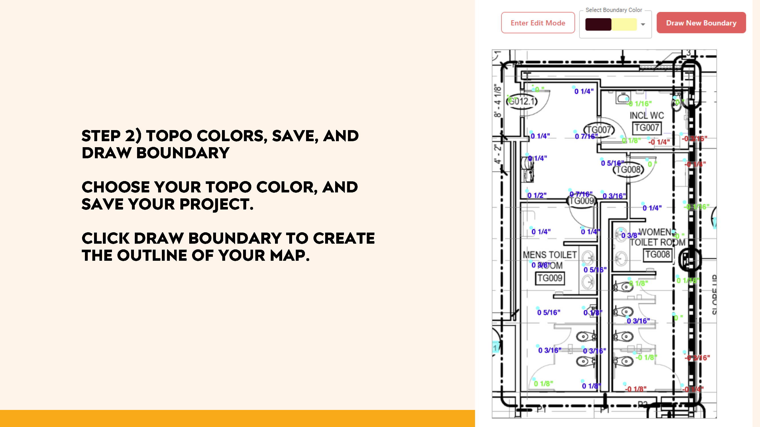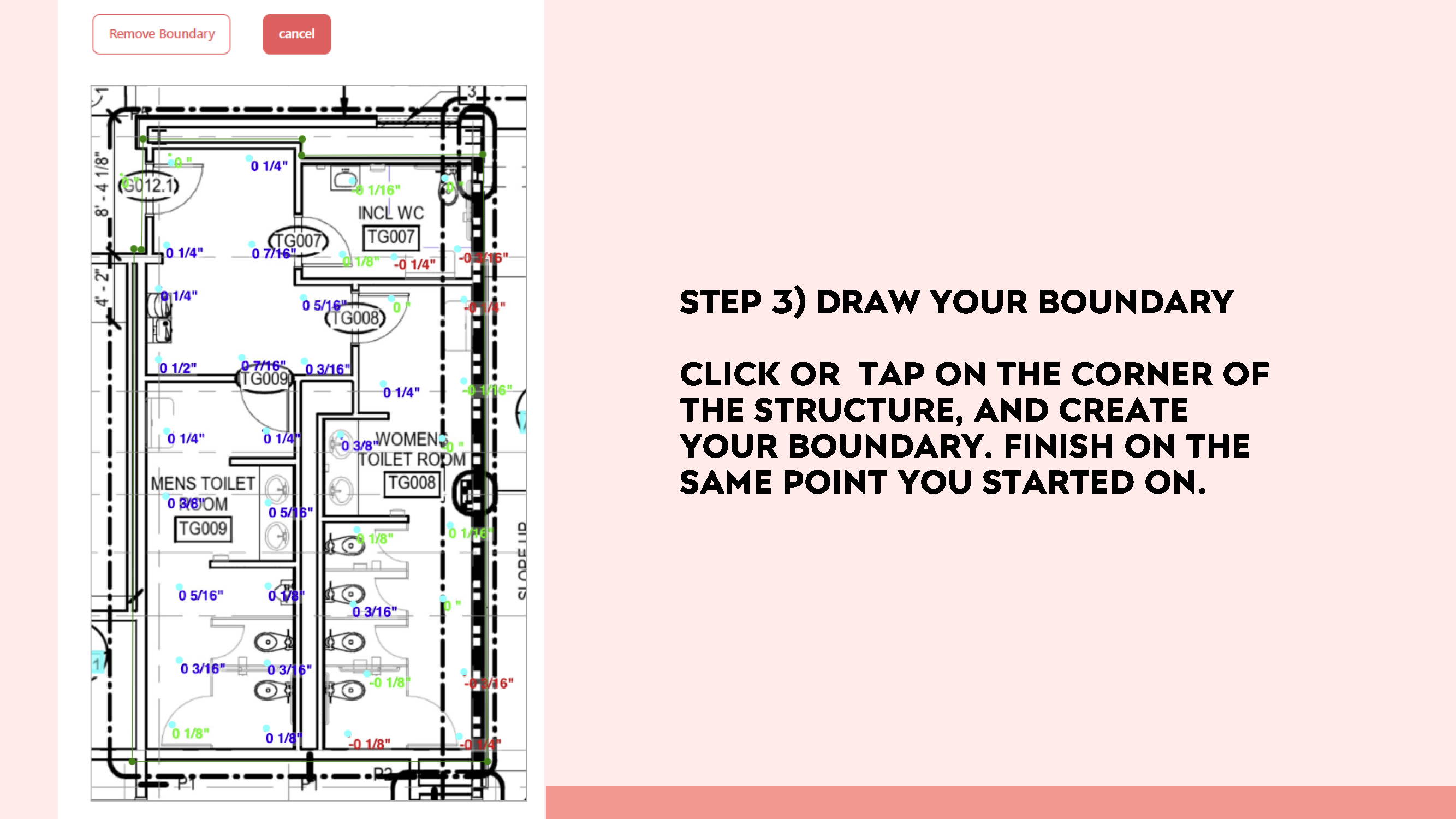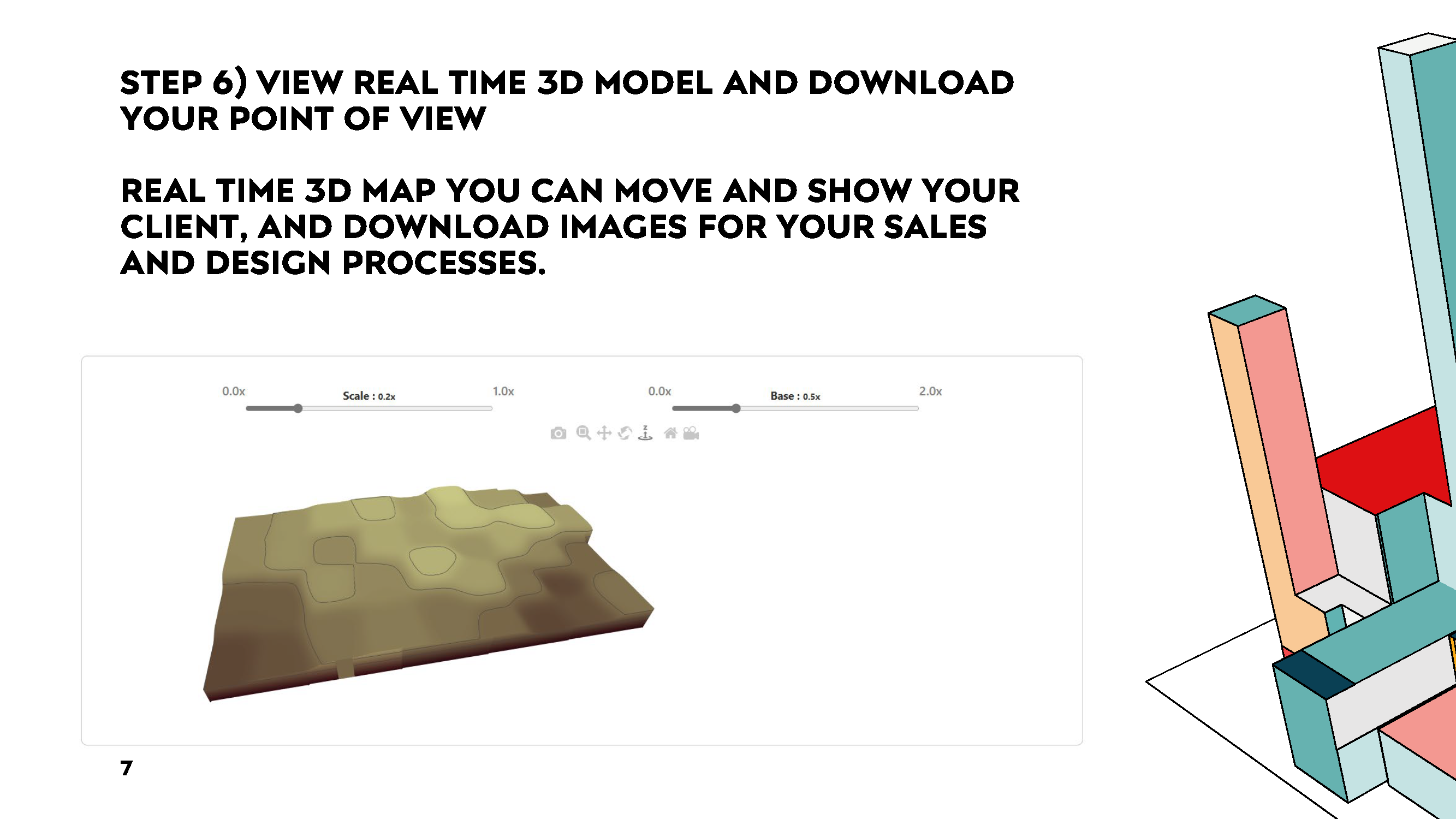
SL & Spatial Vision, 3-D Maps and Volume Calculations
Smart Level has teamed up with Spatial Vision to bring elevation surveys to a new “Level”. Plot your elevation readings with Smart Level, then create 3D maps with colored contours and even volume calculations with Spatial Vision.